Grade II* listed buildings in Nottinghamshire
Yi palo

Ya-nima din beGrade II gari tuhi kɔbishii be England. Yaɣili ŋɔ kali la di din be Nottinghamshire, ni di ni be distrikti shɛŋa.
Ashfield
[mali niŋ | mali mi di yibu sheena n-niŋ]| Name | Location | Type | Completed [note 1] | Date designated | Grid ref.[note 2] Geo-coordinates |
Entry number [note 3] | Image |
|---|---|---|---|---|---|---|---|
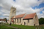
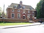
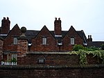
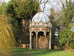
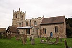
| Church of All Saints | Annesley | Statue | 1832 | 12 October 1988 | SK5109953620 53°04′39″N 1°14′19″W / 53.077371°N 1.238687°W |
1275939 |  |
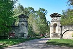
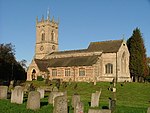
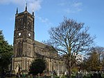
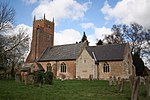
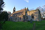
| Church of St Helen | Selston | Tower | Late 14th century | 13 October 1966 | SK4583453308 53°04′30″N 1°19′02″W / 53.075043°N 1.317316°W |
1275170 |  |
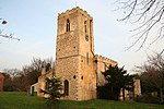
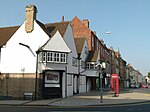
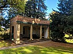
| Church of St Mary Magdalene | Hucknall | Tower | 1925 | 12 October 1988 | SK5334649381 53°02′21″N 1°12′21″W / 53.039051°N 1.205849°W |
1217611 |  |
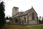
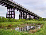
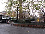
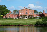
| Church of St Mary Magdalene | Sutton-in-Ashfield | Tower | c. 1395 | 4 June 1980 | SK4894058959 53°07′32″N 1°16′12″W / 53.125561°N 1.2701°W |
1221773 |  |
Bassetlaw
[mali niŋ | mali mi di yibu sheena n-niŋ]Broxtowe
[mali niŋ | mali mi di yibu sheena n-niŋ]City of Nottingham
[mali niŋ | mali mi di yibu sheena n-niŋ]Gedling
[mali niŋ | mali mi di yibu sheena n-niŋ]Mansfield
[mali niŋ | mali mi di yibu sheena n-niŋ]Newark and Sherwood
[mali niŋ | mali mi di yibu sheena n-niŋ]Rushcliffe
[mali niŋ | mali mi di yibu sheena n-niŋ]Lihi pahi
[mali niŋ | mali mi di yibu sheena n-niŋ]Notes
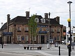
[mali niŋ | mali mi di yibu sheena n-niŋ]- ↑ 1835 The foundation stone of the Mansfield Town Hall was laid by Mr. John Coke. 1836 The Town Hall was opened for the first time. ourmansfieldandarea.org (Mansfield District Council Museum), Retrieved 13 February 2020
Kundivihira
[mali niŋ | mali mi di yibu sheena n-niŋ]External links
[mali niŋ | mali mi di yibu sheena n-niŋ]![]() Media related to Grade II* listed buildings in Nottinghamshire at Wikimedia Commons
Media related to Grade II* listed buildings in Nottinghamshire at Wikimedia Commons
Tɛmplet:GradeII*Listedbuilding
- 1 2 3 4 5 6 7 8 The date given is the date used by Historic England as significant for the initial building or that of an important part in the structure's description.A chirim ya:
&It;ref>tuma maa yi laɣingu din yuli nyɛ "note", ka lee bi saɣiritiri$It;references group ="note"/>tuka maa bon nya - 1 2 3 4 5 6 7 8 Sometimes known as OSGB36, the grid reference is based on the British national grid reference system used by the Ordnance Survey.A chirim ya:
&It;ref>tuma maa yi laɣingu din yuli nyɛ "note", ka lee bi saɣiritiri$It;references group ="note"/>tuka maa bon nya - 1 2 3 4 5 6 7 8 The "List Entry Number" is a unique number assigned to each listed building and scheduled monument by Historic England.A chirim ya:
&It;ref>tuma maa yi laɣingu din yuli nyɛ "note", ka lee bi saɣiritiri$It;references group ="note"/>tuka maa bon nya
Pubu pubu:
- Articles with short description
- Short description with empty Wikidata description
- Use dmy dates from April 2022
- Articles with invalid date parameter in template
- Lists of coordinates
- Geographic coordinate lists
- Articles with Geo
- Articles with OS grid coordinates
- Commons category link is defined as the pagename
- Grade II* listed buildings in Nottinghamshire
- Lists of Grade II* listed buildings in England by county
- Lists of listed buildings in Nottinghamshire
- Peejinima din kundivira bi viɛla
- Pages with reference errors that trigger visual diffs


