
Lahabali kɔligu:Unthank Hall, Stanhope - geograph.org.uk - 2653040.jpg
Jɔhiyuli maa galisim:800 × 600 anfooni bihi bihi. Din pahi resolutions: 320 × 240 anfooni bihi bihi | 640 × 480 anfooni bihi bihi | 1,024 × 768 anfooni bihi bihi | 1,280 × 960 anfooni bihi bihi | 2,560 × 1,920 anfooni bihi bihi | 3,264 × 2,448 anfooni bihi bihi.
Faal maa maŋmaŋa (3,264 × 2,448 pixels, file size: 4.09 MB, MIME type: image/jpeg)
Lahabali jia
| Buɣisibu |
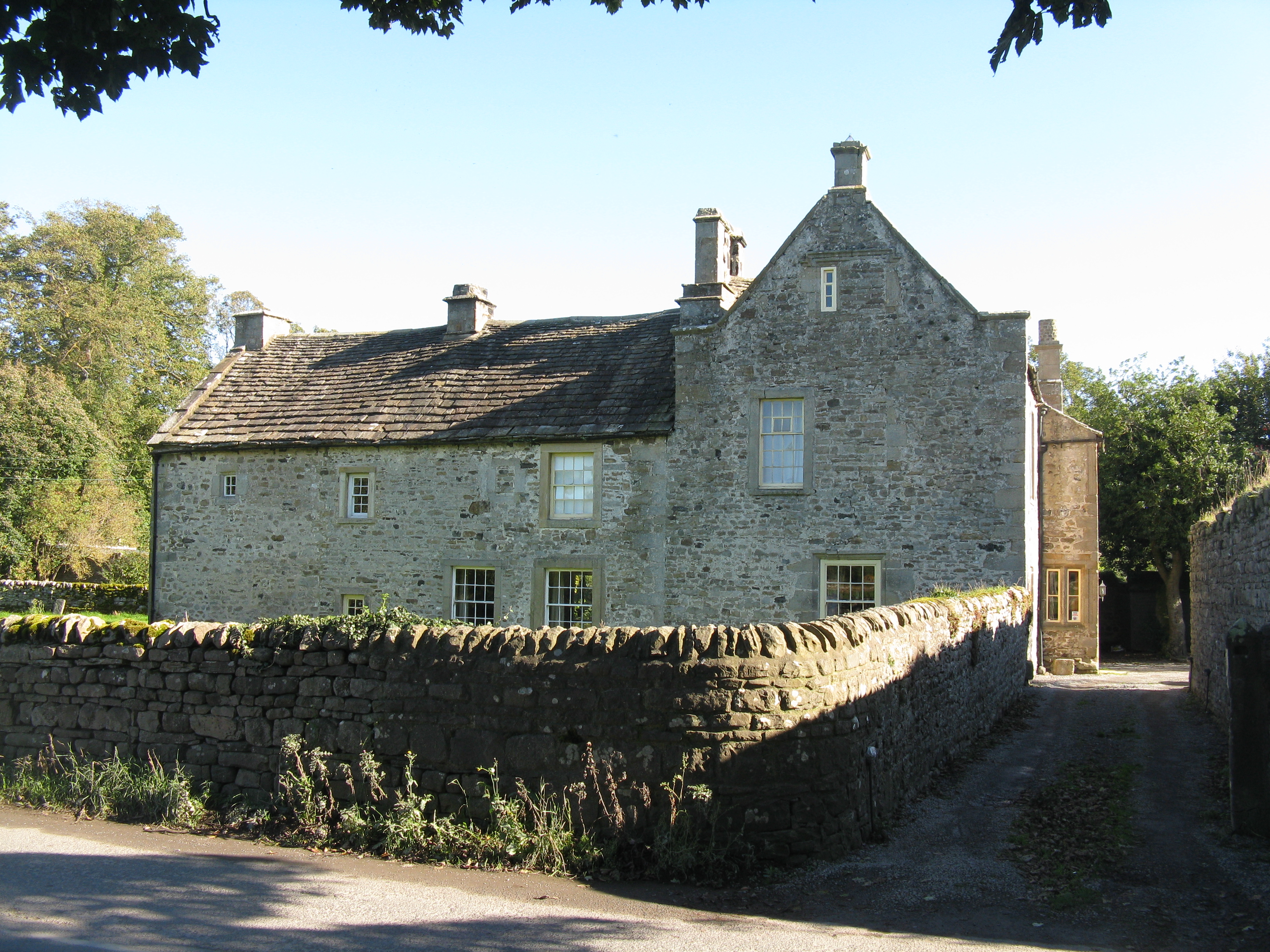
English: Unthank Hall, Stanhope |
| Ŋmahanli | historic site, yili, Grade II listed building, Stanhope |
| Dabisili kalinli |
|
| Nyabli |
Geograph Britain and Ireland |
| Sab'sabira |
M J Richardson |
| Location of creation | Stanhope |
| Camera location | | View this and other nearby images on: OpenStreetMap |
|---|
| Object location | | View this and other nearby images on: OpenStreetMap |
|---|
Fukumisi shahira niŋbu

|
This image was taken from the Geograph project collection. See this photograph's page on the Geograph website for the photographer's contact details. The copyright on this image is owned by M J Richardson
|
This file is licensed under the Creative Commons Attribution-Share Alike 2.0 Generic license.
ŋmahinli: Unthank Hall, Stanhope by M J Richardson
- A mali sɔli:
- N pirigi – Diyi lee ka a yan labi ŋma, n tari ka yan zaŋ tuma n talim
- Lab laɣim – n taɣi dee tuma maa
- N-yɛn zaŋ dɔli zalikpana ŋɔ sɔli:
- ŋmahindibu – Di tu ni a ti nin'tiɣili din tu, ka yooi sɔli din yihiri shiɛhira gbaŋ, ka lahi wuhi di yi niŋ ka taɣibu daa pun niŋ. A ni tooi niŋ lala ŋɔ n-doli hankali ni saɣi shɛm, amaa ka di pa sɔ'shɛli din mali biɛhiŋ zaŋ kpa ŋun tiri shiɛhira gbana ŋɔ polo nin'tiɣili ni nyini bee a zaŋ tum.
- Tarimi li din nyɛ shɛm – A yi mali labi sabi bee a taɣi li mi bee a miɛmi n-tam sabiri kurili maa zuɣu, di tu ni a tari a tɔhibu maa doli same or compatible license n-zali maŋ-maŋ maa.
Faal tarihi
Dihimi dabisili/saha n-nya kɔl' bihi kamani di ni di yina shɛm
| Zuŋɔ dabisili/Saha | Thumbnail | Di tarisi | ŋun su | tɔhibu | |
|---|---|---|---|---|---|
| din na chana | 10:46, 20 Silimin gɔli September 2021 | | 3,264 × 2,448 (4.09 MB) | GeographBot | Uploading geograph.org.uk image from https://www.geograph.org.uk/photo/2653040 |
Lahibali kɔligu zaŋ tum tuma
Din doli ŋɔ na yaɣili tuma nima zaŋ ti lahabali kɔligu ŋɔ:
Duniya zaa lahabali kɔligu zaŋ tum tuma
Wikis shɛŋa ŋan dolina ŋɔ gba malila faal ŋɔ n kuri bukaata:
- Zaŋ tum tuma en.wikipedia.org zuɣuc