
Lahabali kɔligu:Revised photo of "The Falls" at Wichita Falls, TX IMG 6918.JPG
Jɔhiyuli maa galisim:800 × 600 anfooni bihi bihi. Din pahi resolutions: 320 × 240 anfooni bihi bihi | 640 × 480 anfooni bihi bihi | 1,024 × 768 anfooni bihi bihi | 1,280 × 960 anfooni bihi bihi | 2,560 × 1,920 anfooni bihi bihi | 4,608 × 3,456 anfooni bihi bihi.
Faal maa maŋmaŋa (4,608 × 3,456 pixels, file size: 4.57 MB, MIME type: image/jpeg)
Lahabali jia
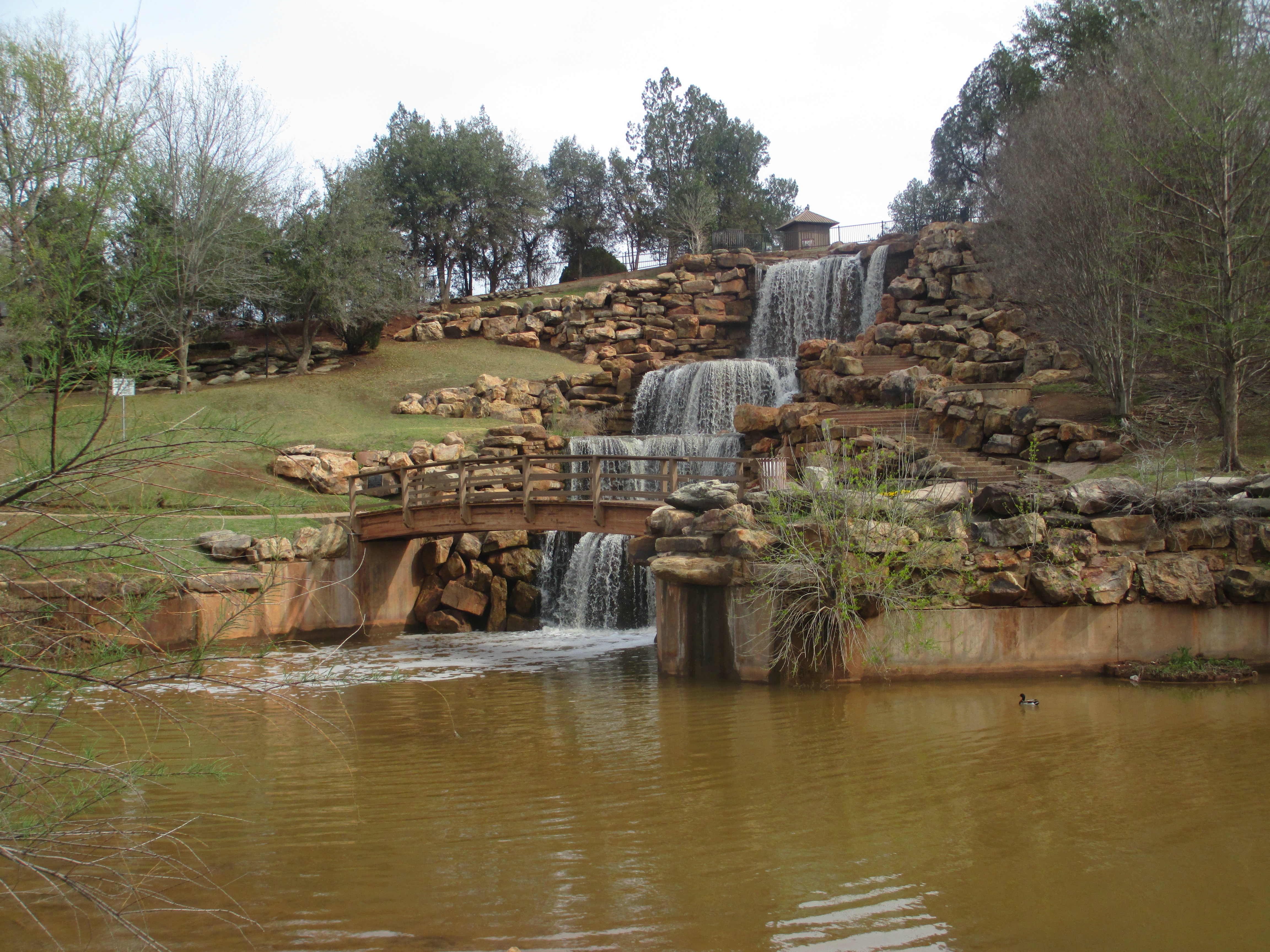
Photo taken of Falls of Wichita River in Wichita Falls, TX, with Canon camera, April 5, 2013
| Object location | | View this and other nearby images on: OpenStreetMap |
|---|
Fukumisi shahira niŋbu
I, the copyright holder of this work, hereby publish it under the following license:
| This file is made available under the Creative Commons CC0 1.0 Universal Public Domain Dedication. | |
| The person who associated a work with this deed has dedicated the work to the public domain by waiving all of their rights to the work worldwide under copyright law, including all related and neighboring rights, to the extent allowed by law. You can copy, modify, distribute and perform the work, even for commercial purposes, all without asking permission.
|
Faal tarihi
Dihimi dabisili/saha n-nya kɔl' bihi kamani di ni di yina shɛm
| Zuŋɔ dabisili/Saha | Thumbnail | Di tarisi | ŋun su | tɔhibu | |
|---|---|---|---|---|---|
| din na chana | 23:43, 8 Silimin gɔli April 2013 | | 4,608 × 3,456 (4.57 MB) | Billy Hathorn | Photo taken of Falls of Wichita River in Wichita Fall, TX, with Canon camera, April 5, 2013 Category:Wichita Falls, Texas Category:Waterfalls in Texas Category:Wichita River |
Lahibali kɔligu zaŋ tum tuma
Din doli ŋɔ na yaɣili tuma nima zaŋ ti lahabali kɔligu ŋɔ:
Duniya zaa lahabali kɔligu zaŋ tum tuma
Wikis shɛŋa ŋan dolina ŋɔ gba malila faal ŋɔ n kuri bukaata:
- Zaŋ tum tuma ar.wikipedia.org zuɣuc
- Zaŋ tum tuma arz.wikipedia.org zuɣuc
- Zaŋ tum tuma be.wikipedia.org zuɣuc
- Zaŋ tum tuma ca.wikipedia.org zuɣuc
- Zaŋ tum tuma ceb.wikipedia.org zuɣuc
- Zaŋ tum tuma ce.wikipedia.org zuɣuc
- Zaŋ tum tuma cy.wikipedia.org zuɣuc
- Zaŋ tum tuma en.wikipedia.org zuɣuc
- Zaŋ tum tuma en.wikivoyage.org zuɣuc
- Zaŋ tum tuma eo.wikipedia.org zuɣuc
- Zaŋ tum tuma es.wikipedia.org zuɣuc
- Zaŋ tum tuma et.wikipedia.org zuɣuc
- Zaŋ tum tuma eu.wikipedia.org zuɣuc
- Zaŋ tum tuma fr.wikipedia.org zuɣuc
- Zaŋ tum tuma ga.wikipedia.org zuɣuc
- Zaŋ tum tuma ht.wikipedia.org zuɣuc
- Zaŋ tum tuma hu.wikipedia.org zuɣuc
- Zaŋ tum tuma ka.wikipedia.org zuɣuc
- Zaŋ tum tuma lld.wikipedia.org zuɣuc
- Zaŋ tum tuma mt.wikipedia.org zuɣuc
- Zaŋ tum tuma nl.wikipedia.org zuɣuc
- Zaŋ tum tuma no.wikipedia.org zuɣuc
- Zaŋ tum tuma ru.wikipedia.org zuɣuc
- Zaŋ tum tuma sr.wikipedia.org zuɣuc
- Zaŋ tum tuma tl.wikipedia.org zuɣuc
- Zaŋ tum tuma tr.wikipedia.org zuɣuc
- Zaŋ tum tuma tt.wikipedia.org zuɣuc
- Zaŋ tum tuma ur.wikipedia.org zuɣuc
- Zaŋ tum tuma uz.wikipedia.org zuɣuc
- Zaŋ tum tuma vi.wikipedia.org zuɣuc
- Zaŋ tum tuma vo.wikipedia.org zuɣuc
- Zaŋ tum tuma www.wikidata.org zuɣuc