
Lahabali kɔligu:Melbury Osmond parish church, tower detail - geograph.org.uk - 518482.jpg
Aayi di ku lahi tooi yaligi n-pahi.
Melbury_Osmond_parish_church,_tower_detail_-_geograph.org.uk_-_518482.jpg (640 × 429 pixels, file size: 99 KB, MIME type: image/jpeg)
Lahabali jia
| Buɣisibu |
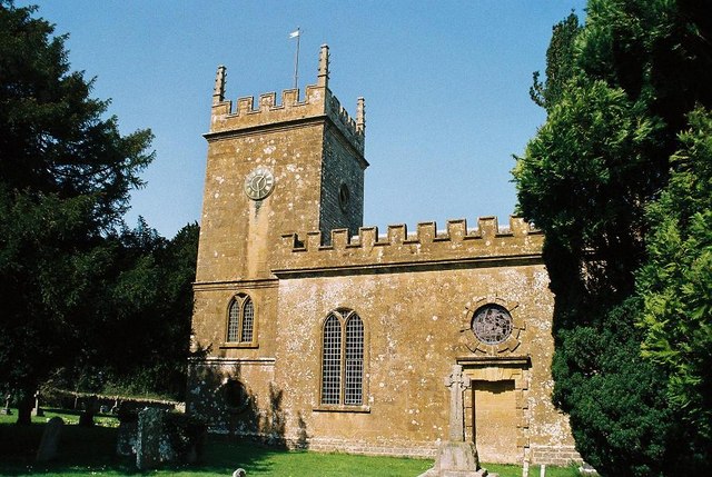
English: Church of England parish church of St Osmund, Melbury Osmond, Dorset: partial view from the south |
| Dabisili kalinli | |
| Nyabli | From geograph.org.uk |
| Sab'sabira | Chris Downer |
| ŋmahinli (required by the license) | Chris Downer / Melbury Osmond parish church: tower detail / |
| Camera location | | View this and other nearby images on: OpenStreetMap |
|---|
_heading:0.00&language=dag)
| Object location | | View this and other nearby images on: OpenStreetMap |
|---|
_heading:0.00&language=dag)
Fukumisi shahira niŋbu

|
This image was taken from the Geograph project collection. See this photograph's page on the Geograph website for the photographer's contact details. The copyright on this image is owned by Chris Downer and is licensed for reuse under the Creative Commons Attribution-ShareAlike 2.0 license.
|
This file is licensed under the Creative Commons Attribution-Share Alike 2.0 Generic license.
ŋmahinli: Chris Downer
- A mali sɔli:
- N pirigi – Diyi lee ka a yan labi ŋma, n tari ka yan zaŋ tuma n talim
- Lab laɣim – n taɣi dee tuma maa
- N-yɛn zaŋ dɔli zalikpana ŋɔ sɔli:
- ŋmahindibu – Di tu ni a ti nin'tiɣili din tu, ka yooi sɔli din yihiri shiɛhira gbaŋ, ka lahi wuhi di yi niŋ ka taɣibu daa pun niŋ. A ni tooi niŋ lala ŋɔ n-doli hankali ni saɣi shɛm, amaa ka di pa sɔ'shɛli din mali biɛhiŋ zaŋ kpa ŋun tiri shiɛhira gbana ŋɔ polo nin'tiɣili ni nyini bee a zaŋ tum.
- Tarimi li din nyɛ shɛm – A yi mali labi sabi bee a taɣi li mi bee a miɛmi n-tam sabiri kurili maa zuɣu, di tu ni a tari a tɔhibu maa doli same or compatible license n-zali maŋ-maŋ maa.
Faal tarihi
Dihimi dabisili/saha n-nya kɔl' bihi kamani di ni di yina shɛm
| Zuŋɔ dabisili/Saha | Thumbnail | Di tarisi | ŋun su | tɔhibu | |
|---|---|---|---|---|---|
| din na chana | 13:12, 5 Silimin gɔli February 2011 | | 640 × 429 (99 KB) | GeographBot | == {{int:filedesc}} == {{Information |description={{en|1=Melbury Osmond parish church: tower detail Detail of the tower of the 518480, in thankfully better weather!}} |date=2000 |source=From [http://www.geograph.org.uk/photo/518482 geograph.org.uk] |a |
Lahibali kɔligu zaŋ tum tuma
Din doli ŋɔ na yaɣili tuma nima zaŋ ti lahabali kɔligu ŋɔ:
Duniya zaa lahabali kɔligu zaŋ tum tuma
Wikis shɛŋa ŋan dolina ŋɔ gba malila faal ŋɔ n kuri bukaata:
- Zaŋ tum tuma en.wikipedia.org zuɣuc
- Zaŋ tum tuma fa.wikipedia.org zuɣuc
- Zaŋ tum tuma it.wikipedia.org zuɣuc
- Zaŋ tum tuma nl.wikipedia.org zuɣuc
- Zaŋ tum tuma www.wikidata.org zuɣuc