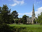
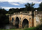
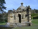
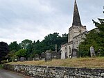
Grade I listed buildings in Derbyshire
Yi palo

Grade I listed buildings galisi gari tusaa awɔi be England. Yaɣili ŋɔ kali la di shɛŋa din be Derbyshire, ni di ni be distrikti shɛŋa.
Amber Valley
[mali niŋ | mali mi di yibu sheena n-niŋ]Bolsover
[mali niŋ | mali mi di yibu sheena n-niŋ]Chesterfield
[mali niŋ | mali mi di yibu sheena n-niŋ]| Name | Location | Type | Completed [note 1] | Date designated | Grid ref.[note 2] Geo-coordinates |
Entry number [note 3] | Image |
|---|---|---|---|---|---|---|---|
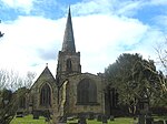
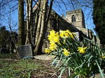
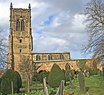
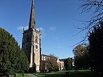
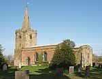
| Church of St Mary and All Saints | Chesterfield | Parish church | Medieval | 15 July 1971 | SK3851371171 53°14′10″N 1°25′28″W / 53.236181°N 1.424443°W |
1334708 |  |
City of Derby
[mali niŋ | mali mi di yibu sheena n-niŋ]Derbyshire Dales
[mali niŋ | mali mi di yibu sheena n-niŋ]Erewash
[mali niŋ | mali mi di yibu sheena n-niŋ]High Peak
[mali niŋ | mali mi di yibu sheena n-niŋ]| Name | Location | Type | Completed [note 1] | Date designated | Grid ref.[note 2] Geo-coordinates |
Entry number [note 3] | Image |
|---|---|---|---|---|---|---|---|
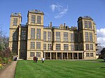
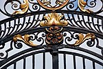
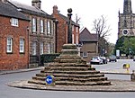
| The Crescent | Buxton | Townhouse | 1780–88 | 25 January 1951 | SK0580673572 53°15′33″N 1°54′52″W / 53.259121°N 1.914426°W |
1257876 |  |
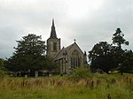
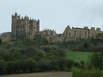
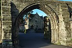
| Peveril Castle curtain walls and fragmentary foundations | Castleton | Castle | Late 11th century | 17 April 1985 | SK1493382606 53°20′25″N 1°46′38″W / 53.340148°N 1.777188°W |
1250966 |  |
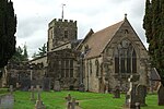
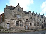
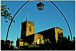
| Church of St Peter | Hope | Parish church | Early 14th century | 21 April 1967 | SK1722983470 53°20′52″N 1°44′34″W / 53.347845°N 1.742659°W |
1121945 |  |
North East Derbyshire
[mali niŋ | mali mi di yibu sheena n-niŋ]South Derbyshire
[mali niŋ | mali mi di yibu sheena n-niŋ]Notes
[mali niŋ | mali mi di yibu sheena n-niŋ]Lihi pahi
[mali niŋ | mali mi di yibu sheena n-niŋ]- Category:Grade I listed buildings in Derbyshire
- Grade II* listed buildings in Amber Valley
- Grade II* listed buildings in Bolsover (district)
- Grade II* listed buildings in Chesterfield
- Grade II* listed buildings in Derby
- Grade II* listed buildings in Derbyshire Dales
- Grade II* listed buildings in Erewash
- Grade II* listed buildings in High Peak
- Grade II* listed buildings in North East Derbyshire
- Grade II* listed buildings in South Derbyshire
Kundivihira
[mali niŋ | mali mi di yibu sheena n-niŋ]External links
[mali niŋ | mali mi di yibu sheena n-niŋ]![]() Media related to Grade I listed buildings in Derbyshire at Wikimedia Commons
Media related to Grade I listed buildings in Derbyshire at Wikimedia Commons
- 1 2 3 4 5 6 7 8 9 The date given is the date used by Historic England as significant for the initial building or that of an important part in the structure's description.A chirim ya:
&It;ref>tuma maa yi laɣingu din yuli nyɛ "note", ka lee bi saɣiritiri$It;references group ="note"/>tuka maa bon nya - 1 2 3 4 5 6 7 8 9 Sometimes known as OSGB36, the grid reference is based on the British national grid reference system used by the Ordnance Survey.A chirim ya:
&It;ref>tuma maa yi laɣingu din yuli nyɛ "note", ka lee bi saɣiritiri$It;references group ="note"/>tuka maa bon nya - 1 2 3 4 5 6 7 8 9 The "List Entry Number" is a unique number assigned to each listed building and scheduled monument by Historic England.A chirim ya:
&It;ref>tuma maa yi laɣingu din yuli nyɛ "note", ka lee bi saɣiritiri$It;references group ="note"/>tuka maa bon nya
Pubu pubu:
- Articles with short description
- Short description with empty Wikidata description
- Use dmy dates from April 2022
- Articles with invalid date parameter in template
- Lists of coordinates
- Geographic coordinate lists
- Articles with Geo
- Articles with OS grid coordinates
- Commons category link is defined as the pagename
- Grade I listed buildings in Derbyshire
- Lists of Grade I listed buildings in Derbyshire
- Peejinima din kundivira bi viɛla
- Pages with reference errors that trigger visual diffs


